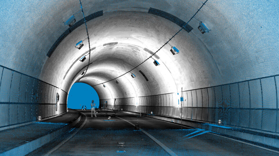
Designed to enable an easy and effective extraction of required information from laser scanning data or any 3D point clouds
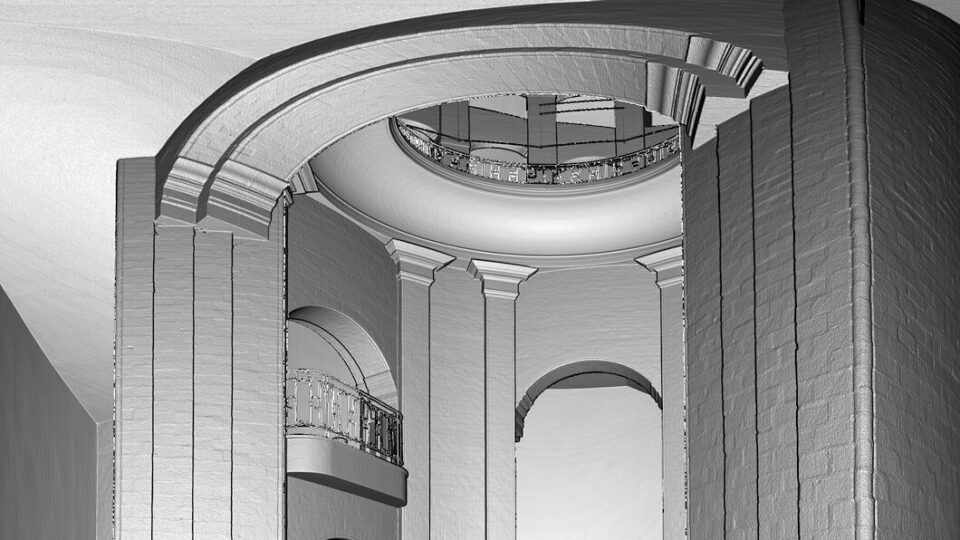
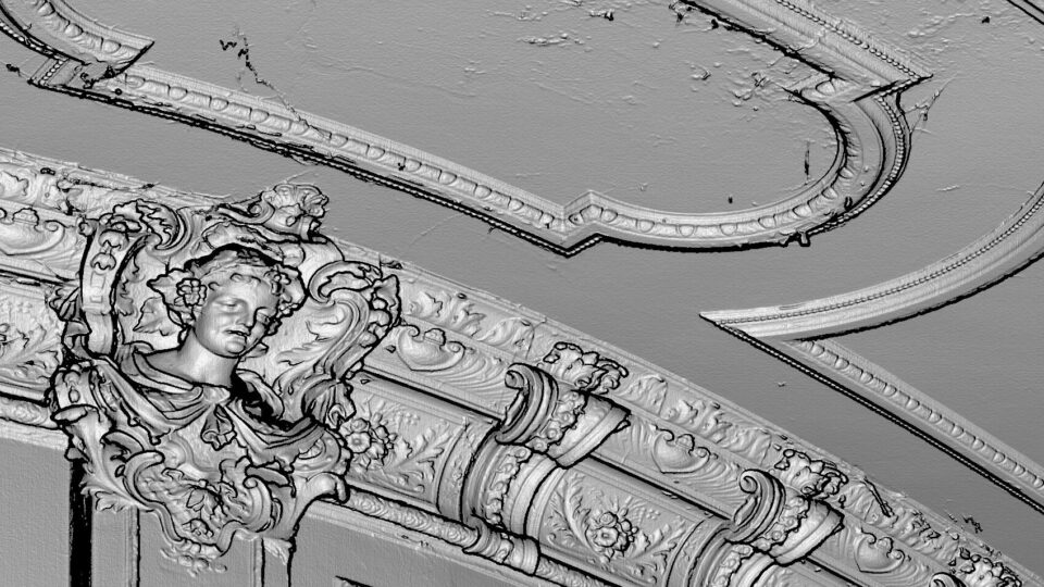
With LupoScan it is possible to reference 3D laser scans in a superordinated coordinate system. 3D objects, floor plans, meshes and orthophotos can be created with few complexity directly in the intensity images of the laser scans or in the point clouds.
Several import and export formats allow a high compatibility with other software and therefore an easy integration into existing work flows. Furthermore all created objects can be inserted in an open drawing of several established CAD programs by a direct interface.
LupoScan Viewer
Download the free LupoScan Viewer.
Trial Version
Use the opportunity to test a full version of LupoScan.